Phalombe District is one of the thirteen Districts in the Southern Region of Malawi. It is situated at the southern tip of the country along latitude -15.80529 and longitude 35.64886 within the Shire Highlands.
The District is bordered by Zomba District to the North and North East, Mulanje to the South and the rest of the District is surrounded by the Republic of Mozambique.
The total land area of the District is 1,323 square kilometers (sq. km) representing 1.4% of Malawi’s total land area.
According to the 2018 Population and Housing Census projections, the number of people living in Phalombe is 429,450 with an intercensal growth rate of 3% per annum which is higher than the national average of 2.9% and Southern Region growth rates of 2.7%, respectively.
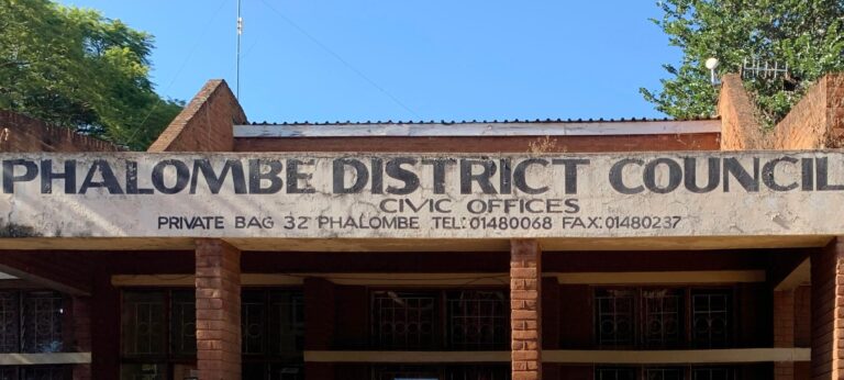
Development activities of the district are being championed by the District Council which according to the 1998 Local Government Act, is the highest policy-making body responsible for development and service delivery in the district.
The District Council comprises of Ward Councilors, Members of Parliament (MPs) as elected members, Chiefs and members of interest groups as ex-officio members.
https://phalombe.hotspotsmw.com/